Menu
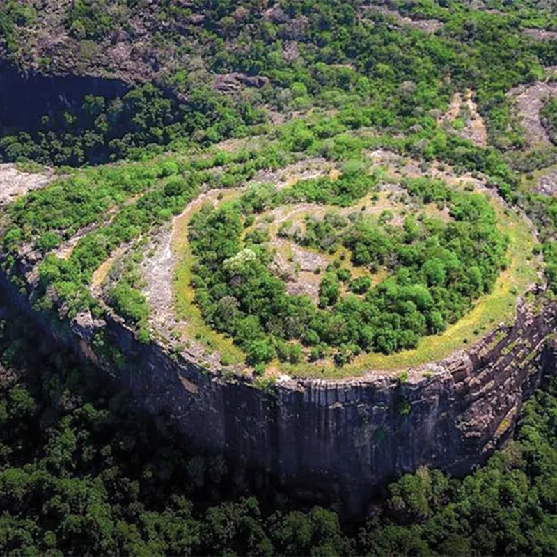
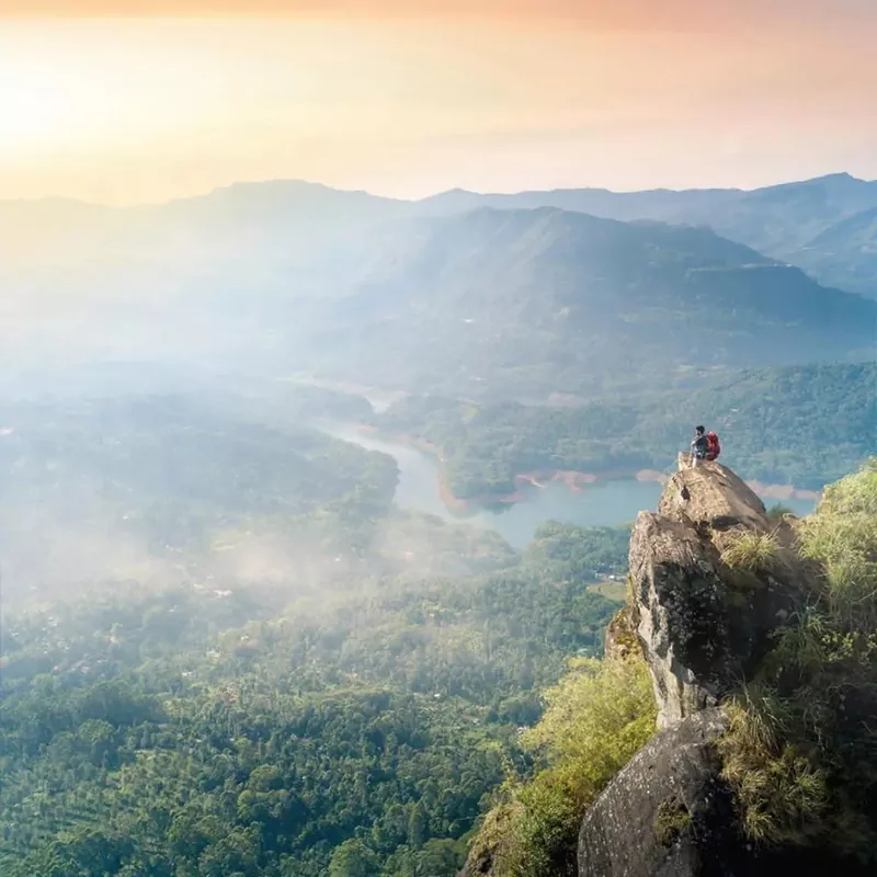
Danigala Circular rock is also known as Kandegama rock and Alien Mountain. It lies near Aralaganwila in the Polonnaruwa district of Sri Lanka. The height of the Danigala Mountain is 280 m (919 ft). The most breathtaking place that is hidden from humans. The beauty of the valley is setting enhanced by the fog with a stunning 360-degree view set. As seen from above, it resembles an airport used to land alien spacecraft. Climbing Danigala Rock is a most challenging mountaineering experience.
Danigala rock is an archeology reserve situated at the border of Maduru Oya. Danigala and Kamburagala rocks are supporting to the Maduru Oya dam
According to the villagers, the mountain glows on full moon days because of the Thiruvana rock column that forms the top of the circular hill. Since it is thought to be an alien occurrence, this rock is also known as the Alien Mountain. At the end is a beautiful plain where the possibility of alien spacecraft is not entirely ruled out. A curious topography can be seen in the village of Kandegama, but no systematic research has been performed on it so farther are several statues of the reclining Buddha in a drip-lined cave complex in the center of the forest road. The sleeping statue is devoid of the ahead. It has fallen victim to treasure hunters. How this spot came to be in the middle of a gorge in the middle of a stunning woodland road is still a mystery.
The mountain range consists of seven peaks. But you need more than one day to explore all seven summits in a row. The highest one is the Uura Kanda. There are few routes to climb the Hanthana Range. Trail was not that hard to climb. But thousands of leaches are waiting to attack in the rain session. So that’s better to carry some leech repellents or wear leach protection if you visit Hanthana. In some areas, it is too hard to walk across the high grassland. Better to wear long sleeves and trousers to avoid bruises on skin made with grass.
In the clear day you can see and enjoy the clear view of Kandy city, knuckles mountain range and more interesting landscape. Most important thing is, it is good to take a support of a guide. Because with rain and mist very difficult to find the paths.
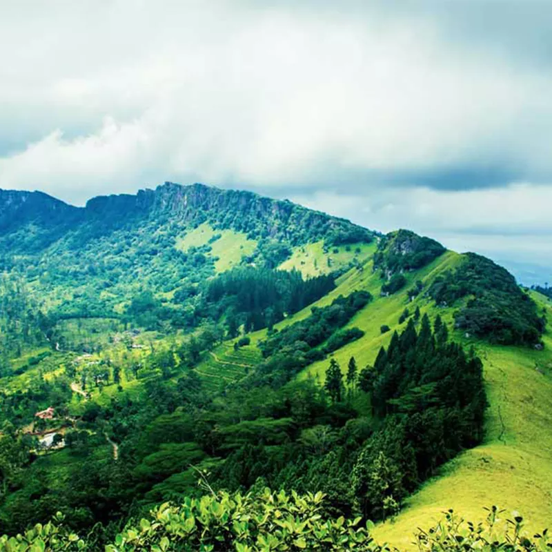
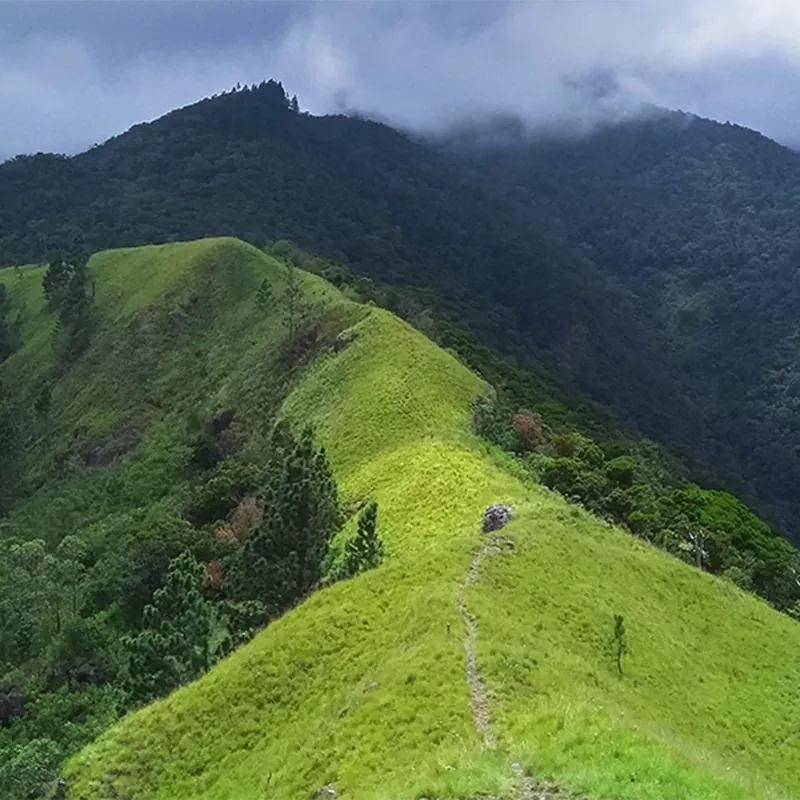
Wangedigala Mountain is located at a beautiful village called Kalupahana. The name Wangedigala is the Sinhala (Language) name for ―Pestle‖. It is given the name Wangedigala (Pestle) because the top of the mountain looks like a Pestle. Wangedigala and Wangedigala Mountain are two different peaks where most locals and as well as Tourist hikers consider as the same peak. Wangedigala is a rock platform on the left side of the mountain that resembles a stage area and offers exquisite view of the surrounding area.
Hiking through the Pine forest of Wangedigala, hikers will experience the beauty of mountain ranges around them and breathtaking sceneries of Bambarakanda Falls and Lanka Falls which are falling from the neighbor mountain of Wangedigala. Hikers will get to cross Bambarakanda Falls from a rope bridge which will also be an exciting experience.
While enjoying the terrains of mountain Wangedigala, hikers will require climbing on steep mountain slopes covered with Pine needles. Extra care should be exercised as this can become slippery when dry.
Climbing up Wangedigala is quite challenging, with a steep climb clinging on to tree branches. When following the walking paths, you might notice that some parts of the trail even had vanished. Wangedigala is popular for hiking given its cool climate; however, during some parts of the year, on the way, you might have to see dried-up streams, slippery and dry paths, and experience high temperature. Therefore, it is essential to pack up necessary things to prevent you from turning weary.
Manigala is a popular hill station located in the Knuckles Range. The Manigala Climb Road runs from the Knuckles Conservation Center to Illukkumbura through mountains, plains and parks. The Managala Range in the Dumbara or Knuckles Range in the Kandy and Matale Districts is an ecosystem with high biodiversity. The Dumbara Range in Manigala is called ‘Batadadukanda’ due to the fact that its western slope is heavily covered with reeds. Climbers can start their journey from the beautiful Rathinda village and going through the village to the starting point will be priceless. Adjacent to Rathinda’s real rural life, you can see paddy fields, plantations and all the rural beauty.
The height of the top of Manigala hill is 1104 meters. To cross it you have to walk along a difficult road about 3 km from the village of Atenwala. It usually takes two to three hours to reach the top of the mountain. It is considered to be one of the most beautiful landmarks in the world as it is surrounded by foggy mountains.
The ancient villagers, who did not have clocks to watch the time, climbed a rock and determined the time through the sunlight falling on it. ‘Money’ in Tamil means time. The rock was named as Manigala because of the time it took to climb the rock or later it became Manigala according to the folklore. This majestic Manigala mountain range and its surroundings is an ecosystem with a breathtaking natural beauty. There is a legend among the villagers that during the battle of Rama Ravana, Ravana’s soldiers were the bow and arrow. Due to the strong winds at the top of the hill, all the trees here have become stunted.
Usually, the surrounding areas of Manigala are sunny and hot. Therefore, it’s recommended to start the hiking in the early morning hours, as on some sunny days, the summit gets a bit hot by noon.
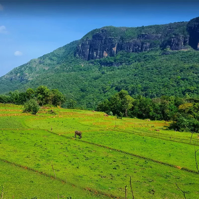
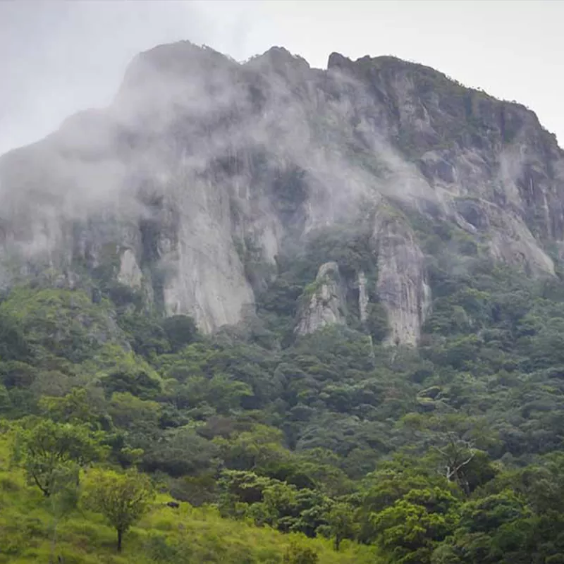
Yahangala is a very popular hiking destination in Sri Lanka. It is more popular among local travelers than foreign tourists. Some call this mountain ―Bed Rock.‖ It is another peak of the Knuckles Massif with a height of 1220m above sea level. The place belongs to the Udadumbara Divisional Sectarian area of Kandy District. This is an awesome place for those who love to do hiking, trekking, adventure activities, and camping. Yahangala is situated on the eastern side of the Kandy district. It is on the south-eastern side of the Knuckles Mountain Range. Udadumbara is the nearest town. There are a few routes to reach the location
This is not an easy hike for anyone. It is hard, and you have to pass through some difficult areas. Large boulders are everywhere. Two adventurous places that cannot be crossed without a proper guide are It is extremely difficult to find the correct route for newcomers. 1-2 hours of hard hiking will take you to the top of the mountain. This hike is much more dangerous in the rainy seasons or rainy days. The 360-degree view of the summit is absolutely gorgeous. You will definitely feel amazed. It is a flat area with a few acres. There were no trees on top of the mountain. But the grass has covered the whole area. Due to the heavy lightning, broken stones can be found everywhere
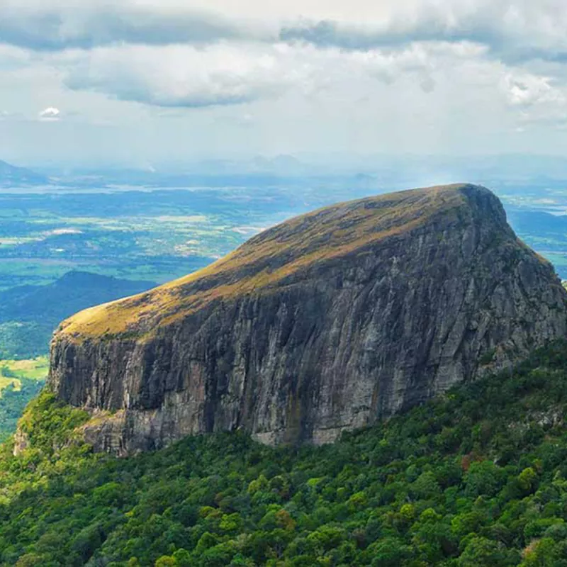
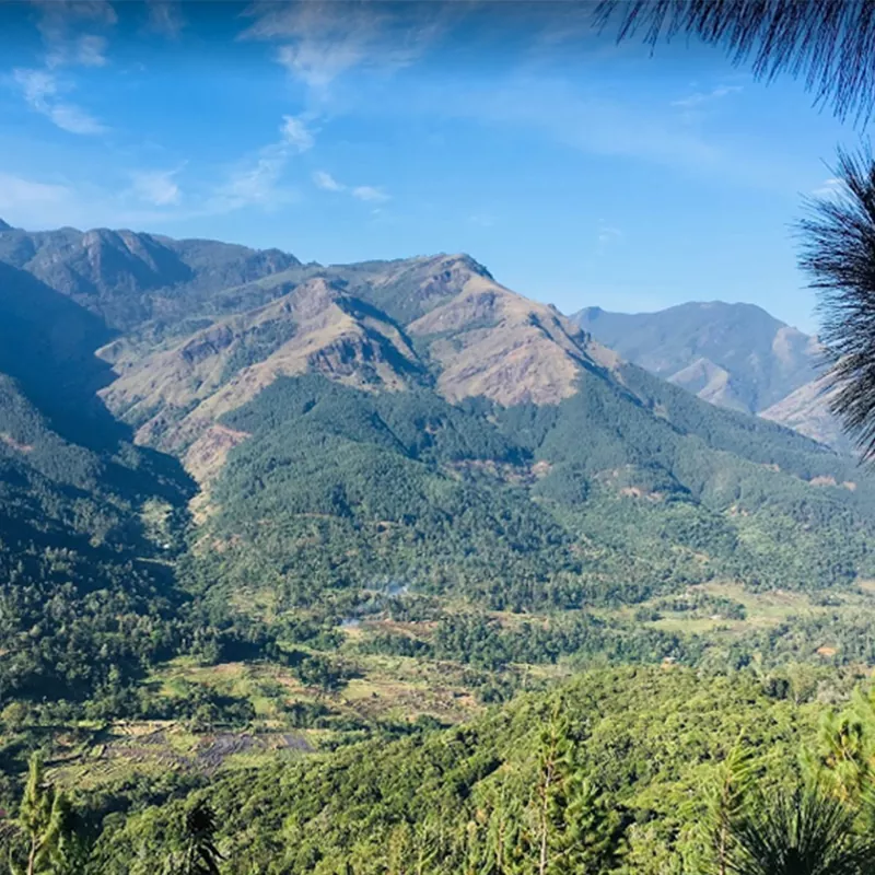
Hawagala is located at an elevation of 1330 m above sea level in the Sabaragamuwa Province. The nearest town is Belihuloya. It is about 4.2 km from Belihuloya town. It is a bit difficult to climb the famous Hawagala mountain for camping.
There is a similar folklore to Hawagala in the mountain range in the Belihuloya area. Legend has it that King Rawana pierced a rabbit while he was on his way from ‘Patupavakahinna Kanda’ in the same mountain range and the mountain was called ‘Ha Gala’ because the hole was pierced by the adjoining mountain. There is an opinion among the villagers that the “and stone” later became the “rabbit stone”.
Access to Hawagala is located on the road to Pahanthuduwa Falls, 3 km from Pambahinna area. If you are coming from Colombo you can descend from Belihuloya and start the Hawagala climb. Considering the route to the top of Hawagala which starts through Laduyaya Estate, you have to climb this mountain peak through a rough path of about three kilometers.
Starting from the Horaton Plain and flowing to the Samanala Wewa, the Belihuloya Oya feeds on this ecosystem and on the way to the top of the Hawagala you have to travel some distance along the Belihuloya Road. There you will also have the opportunity to visit Pahanthudawa Falls.
After reaching the summit of Hawagala at an altitude of about 1330 m above sea level, Samanala Wewa, Sabaragamuwa University, and Badulla Road on one side and Patupavakahinna Kanda, Dorapeliyagala Kanda, Horton Plain on the other. Lokanthaya and Belihuloya are also composed of mountain ranges such as Dethana Gala on the other side.
When going to Hawagala Peak, which is a beautiful mountain peak suitable for night camping, it should be mentioned that if it is rainy season, leeches should be treated and water should be provided below for their consumption. The morning sunrise and the misty cloud system will surely make you feel like you’re living on the clouds during that time
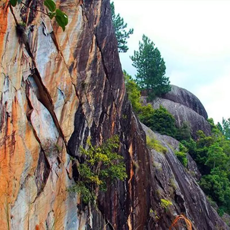
Kurullangala is a rocky mountain which sits on the western side of the gap that leads down from Ella. It can be reached easily from the town of Ella. Compared to most of the other famous hikes in the Ella area, Kurullangala presents hikers with some challenging climbing experiences. Best suited for experienced hikers.
The Kurullangala hike is famous for cave art that can be seen on a rock wall of a cave. The drawings are significant as they are of perfectly proportioned birds as well as humans, and some other unidentifiable artwork which are supposedly over 5000 years old. These drawings of birds are what give the mountain its name, ―Kurullangala‖ which means Bird Rock.
WhatsApp us